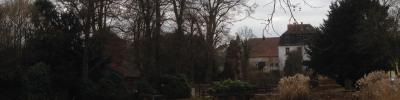
Die Parkanlage Illingen befindet sich im Uferbereich des Flusses Ill. Sie ist am Fuße eines Hanges unterhalb der Kurklinik gelegen und ist für ihre Vielfalt an Vegetation bekannt.
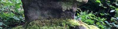
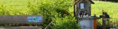
The wayside shrine (called „Bildstöckchen“ or „Bildstöckel“ by locals) is dedicated to the Virgin Mary. It sits amid the idyllic landscape which surrounds an old quarry named „Großer Horst”.
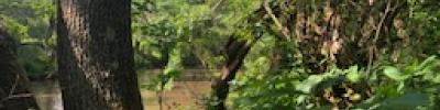
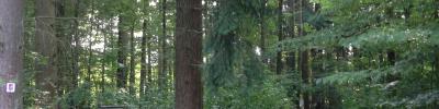
The „Kaltensteinpfad“, a Premium hiking trail labelled „Traumschleife“ (dream loop), has the shape of the figure eight. It leads past a historic horse trough, surrounded by majestic beech trees, the two “Kaltensteine”, impressive rock formations, and then up to the Hoxberg summit, whose 7,8 km long ascent is rather steep and strenuous. Different types of forest (e.g. primeval forest, enchanted forest) still show signs of the enormous destruction caused by two hurricanes in 1990. The Kaltenstein hiking trail is considered to be of intermediate difficulty; it was awarded 56 points by the German Hiking Institute (Deutsches Wanderinstitut).


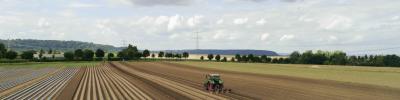
Rapeseed field
the agricultural area (rapeseed field) borders the district of Mimbach